Route
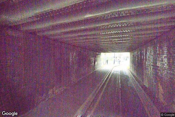
WESTGATE UNDERBRIDGE
low bridges, 3.51 m clearance, low bridge, bridge clearance
Wales and Western
Last verified
27 Mar 2026
Information
Restriction
- Hazard category
- low bridges
- Road
- WESTGATE UNDERBRIDGE
- Location
- WESTGATE UNDERBRIDGE
- Clearance
- 3.51 m
- Clearance (imperial)
- 11' 6"
- Maximum width
- This will become available as we collect more information
- Maximum weight
- This will become available as we collect more information
- Problem type
- low bridge
- Restriction type
- bridge clearance
- Standard coach affected
- This will become available as we collect more information
- Single-decker affected
- YesConfirmed
- Double-decker affected
- YesConfirmed
- Buses and coaches affected
- This will become available as we collect more information
- Coaches affected
- This will become available as we collect more information
- Signposted
- YesConfirmed
Operational notes
- Description
- Signed height from the Network Rail bridge height workbook. Verify local bridge signage before coach travel.
- Alternative route
- This will become available as we collect more information
- Reported by
- Network Rail bridge height workbook
Images
 Google Street View
Nearby places
Closest places of other types within 5 mi.
Nearby route warnings
Mapped route warnings in this area. Always confirm local signage and coach access before travel.
Route1.0 mi
BIDEFORD AVENUE - HEADROOM 14'6 - 1 SPAN
low bridges, 4.4 m clearance, low bridge, bridge clearance
Route1.3 mi
ACCESS ROAD TO CARRIAGE CLEANING SHED
low bridges, 2.9 m clearance, low bridge, bridge clearance
Route1.6 mi
ST JOHNS ROAD
low bridges, 3.9 m clearance, low bridge, bridge clearance
Route2.1 mi
OLD OAK COMMON LANE - 1 SPAN
low bridges, 3.8 m clearance, low bridge, bridge clearance