Route
GUN LANE
low bridges, 4 m clearance, low bridge, bridge clearance
Southern
Last verified
27 Mar 2026
Information
Restriction
- Hazard category
- low bridges
- Road
- GUN LANE
- Location
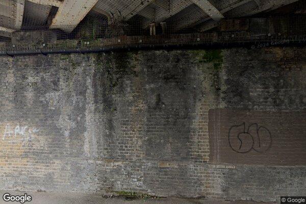
- GUN LANE (VIR/135 span A, OS ref TQ73556941)
- Clearance
- 4 m
- Clearance (imperial)
- 13' 0"
- Maximum width
- This will become available as we collect more information
- Maximum weight
- This will become available as we collect more information
- Problem type
- low bridge
- Restriction type
- bridge clearance
- Standard coach affected
- This will become available as we collect more information
- Single-decker affected
- YesConfirmed
- Double-decker affected
- YesConfirmed
- Buses and coaches affected
- This will become available as we collect more information
- Coaches affected
- This will become available as we collect more information
- Signposted
- YesConfirmed
Operational notes
- Description
- Signed height from the Network Rail bridge height workbook. Verify local bridge signage before coach travel.
- Alternative route
- This will become available as we collect more information
- Reported by
- Network Rail bridge height workbook
Source detail
- Network Rail reference
- VIR/135
- ELR
- VIR
- Bridge ID
- 135
- Span
- A
- Mileage
- 32.1045
- OS reference
- TQ73556941
- Bridge type
- Underline Bridge
- Network Rail region
- Southern
- Network Rail route
- Kent
Images
 Google Street View
Nearby places
Closest places of other types within 5 mi.
Nearby route warnings
Mapped route warnings in this area. Always confirm local signage and coach access before travel.
Route< 0.1 mi
EDWARD STREET - ARCHES 1035 (BR 135A) and 1036 (BR 136)
low bridges, 3.2 m clearance, low bridge, bridge clearance
Route< 0.1 mi
BRYANTS ROAD
low bridges, 2.8 m clearance, low bridge, bridge clearance
Route0.1 mi
GRAVESEND ROAD
low bridges, 4.5 m clearance, low bridge, bridge clearance
Route0.3 mi
JANES CREEK
low bridges, 3.96 m clearance, low bridge, bridge clearance
Send a correction or missing detail
Save it here, then open a draft email to Kennedy.